Cape Wrath Trail: the hardest thing I have done — a solo trip report
- Stay connected
- A Garmin inReach Mini 2 with an unlimited plan was my lifeline — phone signal is almost non-existent, sometimes for days.
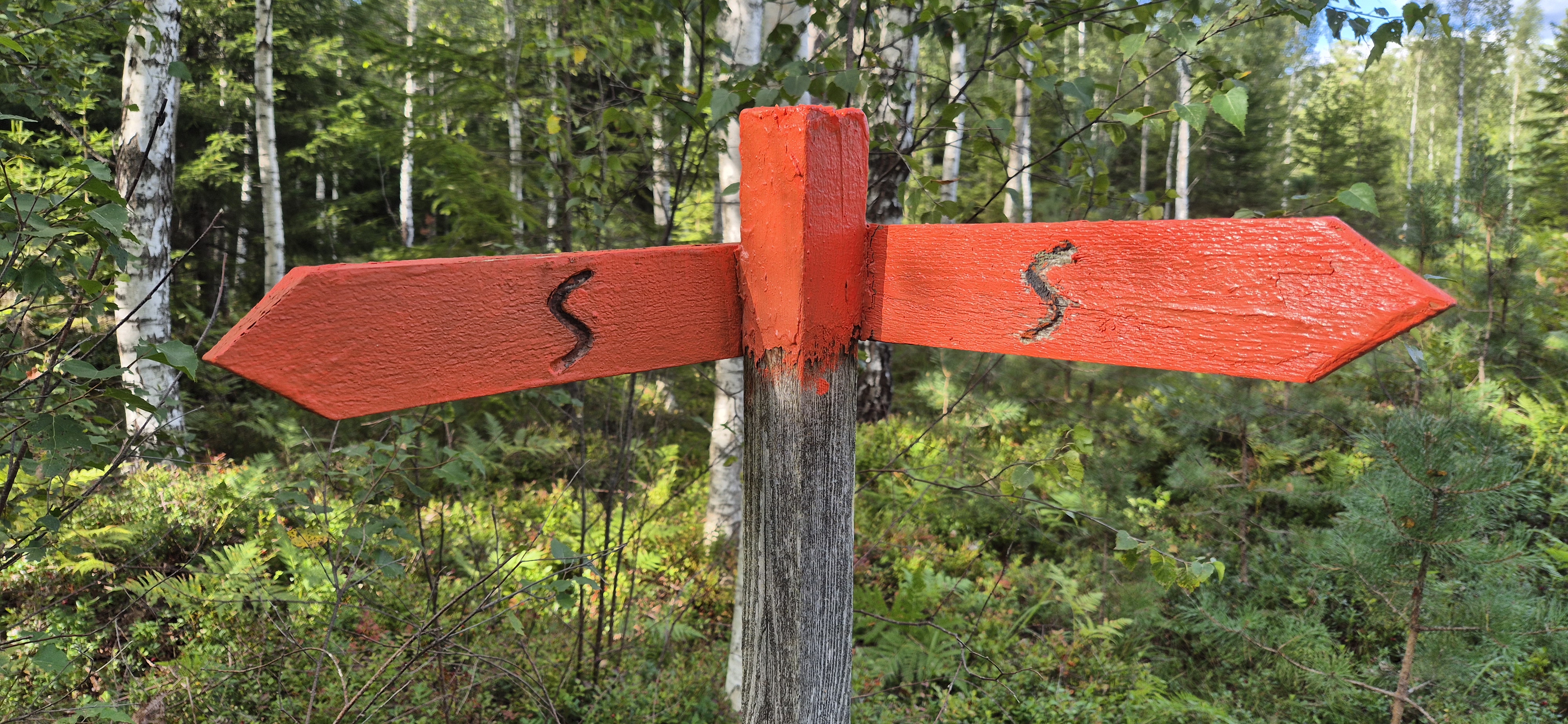
- Navigation
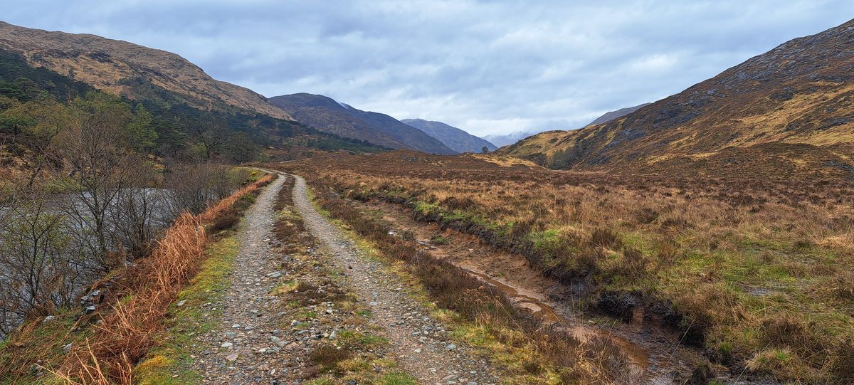
- For most of the route there is no path. Watch every footstep or you sink into bog — expect slow, careful going.
- Difficulty
- Far harder than I expected, mentally and physically. The Barrisdale–Kinloch Hourn stretch is what finished me.
- When I went
- End of April 2024 — quiet, but be ready for cold, wet and very few people.
I wanted to be alone. That was the whole point.
I had never walked a real off-grid trail before — somewhere you can wild camp, but where you also barely see another soul, where you sometimes walk for days without reaching anywhere that people actually live. The Cape Wrath Trail, the toughest long-distance route in Britain, promised exactly that. So at the end of April 2024 I set off on my own.
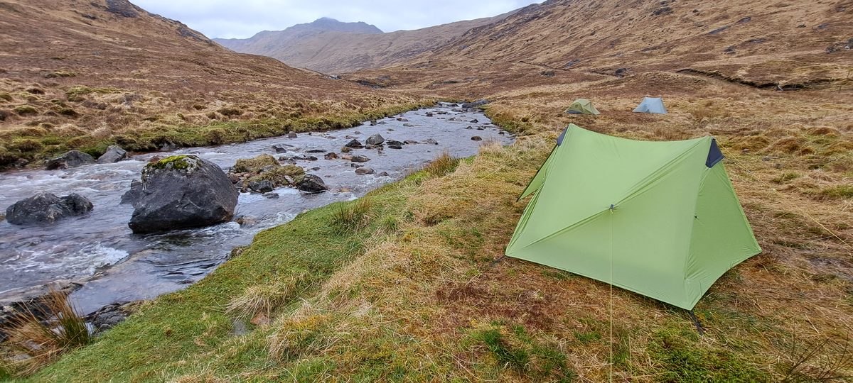
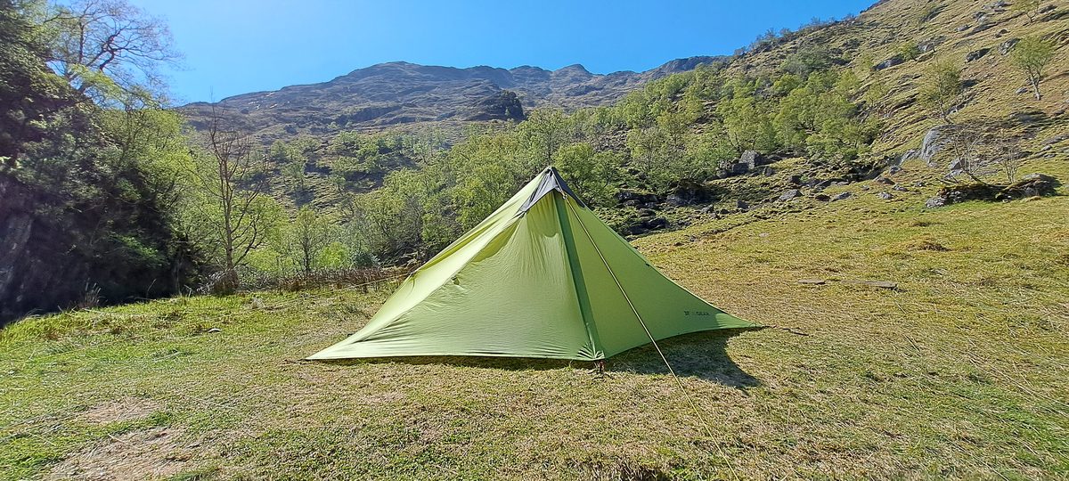
The first two days were everything I'd hoped for. Pure euphoria. Just me, my tent, and an emptiness so big it felt like a gift.
And then, on the third evening, it caught up with me. I was pitching my tent — not thinking about anything in particular — when it hit me out of nowhere: I missed my family. Badly. Three days completely alone turned out to have far more impact on me than I'd ever imagined. Standing there by my tent, I suddenly felt deeply lonely.
I kept going. But I needed to reach home somehow.
On a trail like this you have almost no phone signal — sometimes none for days on end. I'd prepared for that: I'd bought a Garmin inReach Mini 2 and taken an unlimited plan so I could stay in touch with home over satellite. The messages were small, and sometimes it took a while before one sent and an answer came back — but it did me a world of good. That third night I messaged my wife and told her, honestly, that it had suddenly hit me hard. Being able to swap a few messages back and forth, out there in the middle of nowhere, was exactly what I needed.
What the trail gave back
The Cape Wrath also gave me moments that were, simply, priceless.
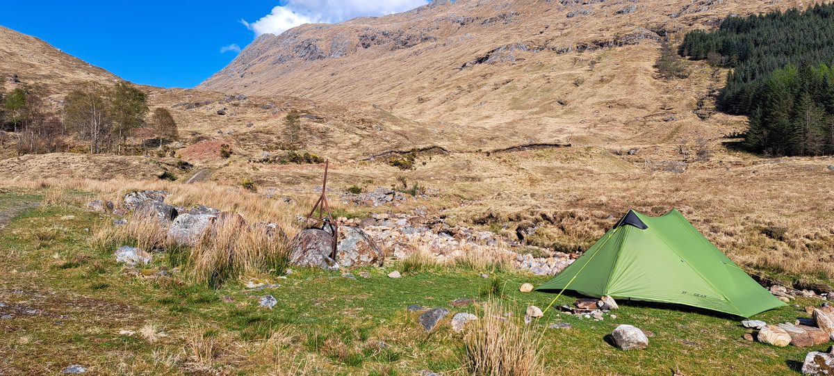
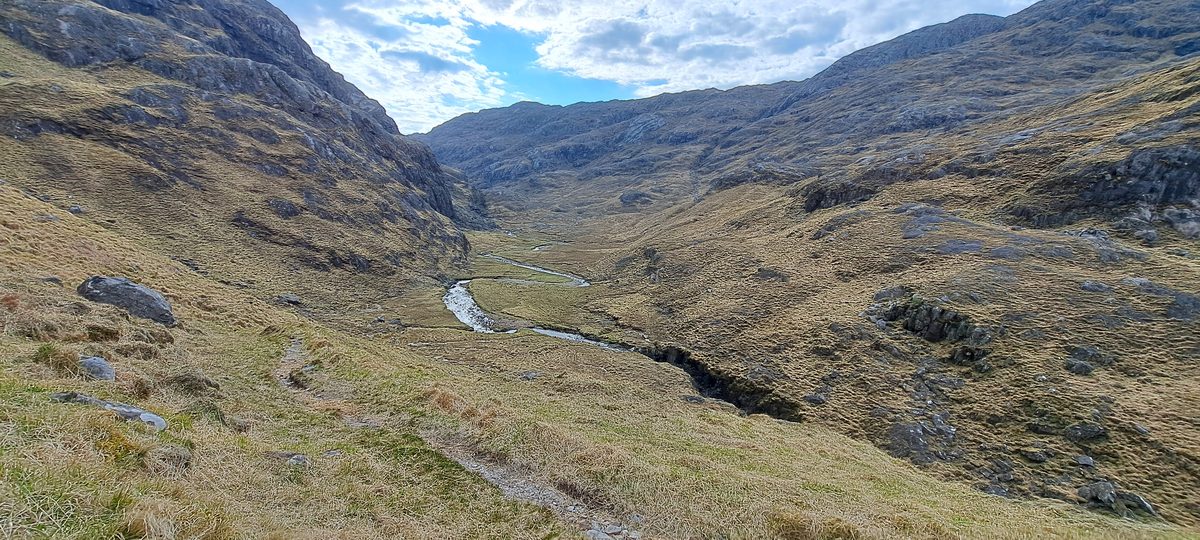
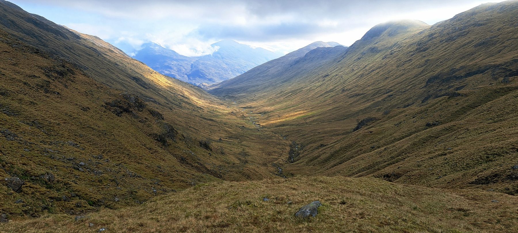
What astonished me most was the ruggedness. I genuinely could not have pictured it beforehand — it is raw in a way that's hard to describe until you're standing in it. One moment stays burned in my memory: the climb up above the Corryhully bothy. When I reached the top, the view was breathtaking — a valley opening up below me with a high mountain rising on each side, and a little higher up the slope, a group of deer. That's the photo at the top of this diary. That's the kind of thing you do it all for.
The part that finished me
But I won't pretend it was beautiful all the way. It was far more extreme than I'd expected — mentally, from the long stretches alone, and physically, on the ground itself.
For most of the route there simply is no path. Navigation is brutally hard: every single step you have to look where you're going and where you put your foot, or you sink straight into a bog. Add relentless climbing and descending and it grinds you down.
The stretch that broke me was Barrisdale to Kinloch Hourn. Two hundred metres up, two hundred down. Three hundred up, three hundred down. Sometimes on tiny ledges and awkward, fiddly paths above the loch. It was killing.
By the time I reached Kinloch Hourn I was done. Finished. I sat in the Lochhournhead B&B and Tea Room with one thought going round my head: I don't want to do this anymore. It's too hard.
Dan, Ben and Bob
That's when two Englishmen changed everything.
The evening before, at my campsite, I'd met one of them — Dan, walking with his dog, Ben. Now, at the B&B, the other one — Bob — arrived and asked if he could share my table to eat. We got talking, and before long Dan and Ben joined us too.
I told them the truth: I wanted to quit, it was simply too much. And Dan, the man with the dog, looked at me and said:
"I'm going to help you. We'll drag you through."
So I bought us a round of lovely cold IPAs — we'd lain the cans in the river so they'd be properly chilled — and we drank them up at the top of the mountain where we camped that night. Walking together over the next two days, we ended up talking on a really deep level. Honest, vulnerable conversations. That's what made it so special.
They got me through the worst of it, including the Forcan Ridge that came after Kinloch Hourn. At a certain point our routes split — I had to head for Attadale to catch the train to Inverness and home, which had been my plan and my endpoint all along, while Dan and Bob carried on to do the full Cape Wrath.
How it felt at the end
Honestly? Relief. Standing at the end, what I mostly felt was relief that it was over.
I won't walk the Cape Wrath Trail again — it's just too brutally hard. But the experience was once in a lifetime. Truly. And the strangest, best part of it is this: because I was at my lowest at Kinloch Hourn, and because Dan and Bob stepped in at exactly the right moment, we formed a bond that has lasted. Two years on, we still speak every single day.
I'll go back to Scotland — I love it there. But next time I'm heading south, to the gentler Southern Upland Way.
Some trails you walk for the views. This one I walked for the people it gave me.
From my own photos